Farmers, extension workers and governments now have a powerful new tool to help identify the crops best suited to specific parcels of land, enabling more efficient use of resources and greater resilience to climate change.
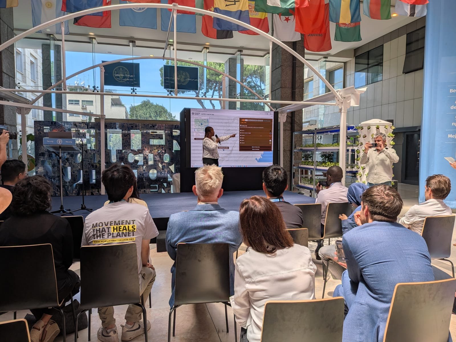
The Food and Agriculture Organization of the United Nations (FAO) today launched CropSuit, a free web-based application that combines soil information with climate information, topography, land cover and other environmental data to identify the crops most likely to perform well in a given location.
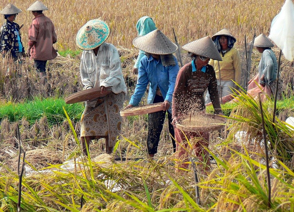
By helping farmers plant the best crop for local conditions, CropSuit supports better yields, improved incomes, more efficient fertiliser use and more sustainable land management. The tool comes at a critical time when 1.7 billion people around the world live in areas where land degradation is reducing agricultural productivity.
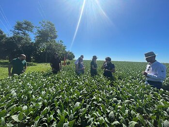
The application was unveiled during FAO’s Global Conference on Smart Farming, which gathered ministers, policy makers, researchers and private-sector representatives from around the world to discuss how digital innovation can improve food production while making agriculture more resilient and sustainable.
"Technology does not replace farmers. It gives them better information to make better decisions, at the right time and in the right place. CropSuit is one example of how innovation can turn science into practical support for farmers," said Lifeng Li, Director, FAO Land and Water Division. "The challenge is no longer whether smart farming works. It is whether we can ensure that these tools reach the farmers who need them most,” he added.
The CropSuit application is part of FAO’s Soil Mapping for Resilient Agrifood Systems (SoilFER) programme, an initiative funded by Japan and the United States of America that helps countries in Africa and Central America strengthen their soil information systems by combining advanced soil data, geospatial data integration, crop modelling and digital decision-support tools.
It builds on the Global Agro-Ecological Zoning (GAEZ) framework developed through collaboration between FAO and the International Institute for Applied Systems Analysis (IIASA) and expands access to information on a wide range of crops, including nutrient-dense, traditional and indigenous species with significant potential to improve food security and nutrition.
The CropSuit app further expands the capabilities of the SoilFER Geospatial Platform by providing an intuitive and user-friendly interface for exploring this open-access data.